
A visitor may choose a Miami Beach street entrance because it has beach matting and arrive expecting to collect a loan wheelchair there. The City of Miami Beach publishes two different sets of information. Its mat map covers multiple entrances in South Beach, Mid Beach and North Beach. Its manual beach wheelchair service identifies Lummus Park and South Pointe Park, with chairs offered first come, first served and a call ahead advised. A city publishing either service should make that distinction visible before the visitor leaves home. City of Miami Beach, beach access for persons with disabilities
Give the mat its own street-end record
Start with a public entrance the visitor can identify from the road. For example, Miami Beach’s Parks and Recreation inclusion page lists 64 Street among its mat locations. An editor can use that official entry to identify the intended access point. Staff still need to confirm the approach, installed extent and current endpoint before describing what a visitor will find on a particular day. The city’s wheelchair-service page directs enquiries about the manual chairs to the two parks named above. City of Miami Beach, inclusion programs and mat locations
For a municipal route register, record the street, the signed access name if different, and a landmark visible from the arrival side. Survey where the first panel meets the hard approach and where a visitor can stop and turn. Add the return direction from the sand, which can be harder to recognise than the entrance from the street. Keep any remaining unconnected sand in the description.
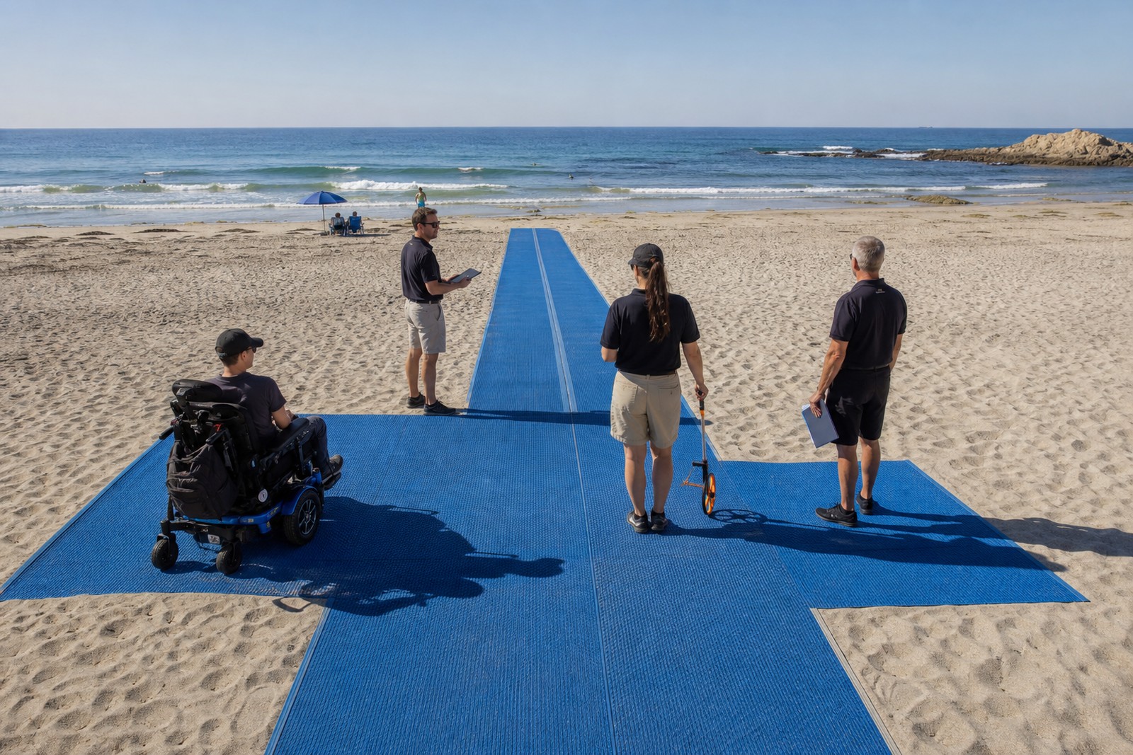
Prevent the map from promising the wrong service
| Visitor question | Record that answers it | What the field team verifies |
|---|---|---|
| “Where do I enter with my own wheelchair?” | The named street entrance, accessible approach and mat start. | Gates, usable clear space and directions in normal operating conditions. |
| “How far can I go on the firm surface?” | The observed installed endpoint, remaining sand and return area. | Dated location, condition of joins and support at both ends. |
| “Where can I ask for a manual beach wheelchair?” | A separate service entry with the actual provider, collection point and enquiry method. | Availability is confirmed by the loan service for that visit. |
| “What has changed since I saw the map?” | A current notice linked to the affected entrance. | Time checked, any verified alternative and the next update source. |
If a hotel guest expects both services, ask which trip they want and how they plan to reach the collection point. Never infer a chair reservation from a map symbol. The local operator’s rules govern assistance and permitted use of the particular unit. A city listing alone supplies no permission for a water outing.
Give maintenance and visitor information the same location
Suppose a crew temporarily removes the seaward section at a street-end route. Tell the map editor precisely which entrance changed, the last usable stopping point, and whether visitors can turn and return from it. If the full route must close, verify any alternative entrance before directing visitors there. Update the beach-side notice, online route entry and local visitor desk. A working chair loan at another park does not repair the shortened surface.
Use the route register when planning a replacement or extension. A purchase schedule should name the street-end run, selected section width, installed length, compatible joins, end treatments and work required at the existing approach. Agree who inspects seasonal changes, stores removed pieces and informs the editor. The separate mat procurement brief covers technical bid comparison. The tourism listing guide covers keeping published service information current across partners.
Local information above was checked on November 13, 2026. For a visit, use the city’s current map and call the named service about wheelchair availability.