
At a lake, the line between dry ground and water can move while the boardwalk and picnic shelter stay put. Give a seasonal beach access mat a destination visitors can recognise on land. Then decide what should happen if high water reaches that destination or falling water exposes mud beyond it. A strip laid to yesterday’s waterline may no longer serve the outing the park advertised.
Start with the arrival point, the intended use and the return. Someone who wants to join family at a picnic area needs space beside the table and a way back to the path. Someone who wants a lake view may be well served by a dry, level stopping area above the normal shore. A separate swimming or assisted water-access activity requires its own arrangements.
Mark water observations against a fixed point
Use a shoreline feature the team can find again, such as the edge of a paved landing or an identified survey reference. Record the date, where water and wet ground were observed in relation to it, and the condition of the proposed endpoint. Tie photographs to that reference and the direction of view. A picture of open water without its location tells the next crew little about where a visitor could stop.
Ask the park or waterbody manager which level information and operating notices apply locally. Include a known fluctuation due to reservoir operations only when the responsible manager confirms it. Observe ordinary site conditions, including any wakes or wind-driven water that reach the bank. Decide which changes require another inspection before a route stays open.
Divide the route by ground condition
Walk both ways between the accessible approach and the proposed stopping area. Mark each surface change on the route drawing. Grass near the parking area, a gravel shoulder, dry sand and wet sediment near the lake may all occur within one short outing. A continuous line on the map can conceal a soft patch below a seemingly firm crust.
At the path connection, inspect level, edge support and turning space. In the middle of the run, look at support beneath the sections, possible drainage paths and where material is deposited after rain. At the lake end, check the space needed to stop, turn and travel back with the intended assistance. Match the section and joint detail to the accepted site conditions. Mat route and connection checks
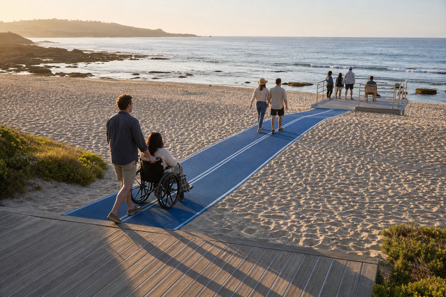
Choose an endpoint for the conditions on the day
| What the lakeshore team observes | What the field reviewer needs to establish | Visitor-facing decision |
|---|---|---|
| Water stays below the agreed dry viewing area and the whole run remains supported. | The approach, joints, clear return and turning area still match the accepted layout. | Open the route to the named viewing area after the responsible lead accepts it. |
| Water falls and reveals soft sediment between the mat end and the lake. | Whether the existing destination still serves its agreed land use. Any proposed extension needs a suitable base, layout and approval. | Explain where the mat ends and what lies beyond. Retain the land destination if it remains usable. |
| Water or moving debris reaches the planned turning space. | Whether an earlier dry stopping area offers sufficient space and a continuous return. | Restrict access while the lead considers a revised endpoint or closure. |
| A cleared entry looks dry, but there is a hollow beneath the first joint. | Whether the cause affects neighbouring sections and what site work will restore support. | Keep the affected route closed until the correction and return check are complete. |
For example, a park may have installed a run from a hard path to a signed lakeside seating bay. If the lake recedes, the gap from that bay to the water can widen. Staff can continue to describe the route as reaching the bay if the bay and return remain usable. Extending it over freshly exposed mud would be a new proposal. Obtain the land manager’s approval, a revised layout and applicable installation guidance before committing more sections. Temporary mat installation and changing ground
Give visitors a current description of the trip
A useful opening message names the starting point, dry destination, remaining ground and contact for current conditions. For example, “From the west car park, follow the firm path to the mat. The mat ends at the lakeside viewing bay. Soft ground continues beyond the bay.” If a change shortens the route, update the information where visitors choose an entrance and where they enquire before travelling.
Keep a simple seasonal record of layout changes, section movements, closures and labour. At the next planning review, compare how often each proposed destination remained usable and what it cost to maintain it. A shorter line to a well-used dry bay may give the park a stronger first service than a repeatedly moved endpoint. Where the park also offers a staffed water-access service, consult its separate entry and exit assessment. Choosing a lake entry for a floating wheelchair