
On the plan, draw the return trip as well as the outward journey. A chair that rolls down a hard approach must still turn at the destination, line up with the mat on the way back and pass through the gate while other visitors are arriving. Those movements can change which alignment works, what transition the designer needs to detail and where staff can provide assistance.
Begin with the site assessment, the people expected to use the route, the service period and a named destination. “From the public drop-off to a shaded picnic bay with room for a companion” gives the design team something testable. Keep an optional extension to another beach activity separate until its access, operating arrangements and return can also be reviewed. Beach accessibility site assessment
Compare alignments before choosing a surface
Draw at least the plausible alternatives for the site. A direct line may be shorter but cross a service road and a steep or shifting sand apron. A slightly longer line could use an existing firm path with only one connection onto sand. Compare the usable distance, changes in level and direction, site permissions, servicing conflicts and the work needed to keep each route open.
Locate the place where visitors will stop, turn, transfer or meet staff. Confirm that an advertised toilet, rest area or shade point can be reached as part of the proposed trip. Include the space for the particular chair, walker, companion or attendant the service anticipates. A straight-line width alone cannot establish whether they can pass another party or turn into a seating bay.
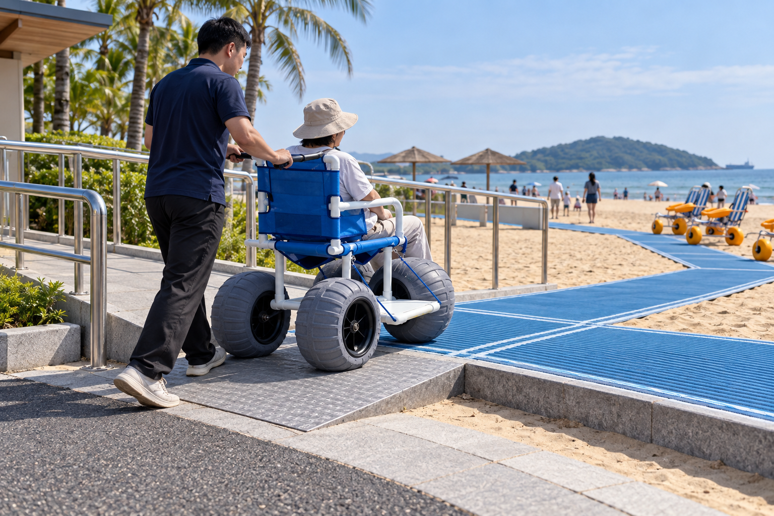
Choose each route element for its piece of ground
| Segment | Design issue to resolve | Drawing or evidence to request |
|---|---|---|
| Fixed parking or drop-off approach | Gates, available clear space, drainage and uninterrupted connection to the public entrance | Plan with operational gate positions, obstructions and spot levels. |
| Crossing over changing ground | Appropriate structure or removable surface, site permissions, maintenance and the effect on adjacent ground | Options reviewed by the responsible technical and environmental team. |
| Firm surface to sand | Finished levels in both travel directions and support beneath the first mat section | Enlarged transition detail showing adjoining faces, end component and approved support arrangement. |
| Destination and return | Clear stopping and turning area, remaining loose sand and any separate service boundary | Measured endpoint plan under normal use, including furniture and visitor circulation. |
A boardwalk requires a site-specific structural and access design. Matting requires an appropriate substrate, identified sections and connections, and a permitted fixing method. In a combined scheme, name the person coordinating the boardwalk’s end level with the installed mat surface. The modular mat supplier can identify its components and effective coverage. The designer and site authority determine how the offered system fits the actual installation. Comparing mats and boardwalks by route segment
Detail the return-side edge
For an illustrative layout, suppose a viewing route turns immediately after a gate and meets a mat at the bottom of the approach. A clear opening measured between the posts may still leave little space for a projecting leg support during the turn. Measure the gate in its operating position and the usable space beyond it. Review the configured equipment and movement envelope before fixing the alignment.
Show where sand can build up or wash out beside the joint and who can inspect it after changing conditions. A mat may meet the landing on the installation drawing and later lose support at one corner. Give the operator a repeatable inspection location and a way to restrict access while work is carried out. The engineer’s interface record should identify the actual measuring faces, units and applicable acceptance criterion. Engineering the mat interfaces
Use the requirements applicable to the actual project. In the United States the Access Board describes surface requirements for covered accessible routes and the separate context of federal outdoor developed-area provisions. Establish the governing criteria and any applicable exceptions with the responsible reviewer before issuing dimensions or construction details. Access Board floor and ground surface guidance · Outdoor developed areas guide
Commission the journey the visitor will be offered
Walk the completed alignment in both directions against the issued plan. Check the built interfaces, actual clear spaces, working gate access, usable endpoint and return. Observe ordinary equipment movement using an appropriate controlled method only after physical defects have been resolved. A visitor trial needs suitable individual arrangements and consent.
Give operations the as-built layout, verified destinations, inspection points and triggers for reassessment after erosion, storm exposure or site work. Ask the visitor desk to explain the journey using the same endpoints. A notice that accurately describes where the firm route ends is one of the practical handover deliverables.