
After water recedes, a riverbank mat can still look straight from the top of the bank even though the sand below its last section has been washed away. Stop and inspect from a suitable location before inviting visitors back. The decisions are whether the supporting bank is sound, how far the continuous land route now extends and whether a visitor can return from that endpoint.
Choose a landward reference that survives a change in level
Record a fixed point near the top of the approach, such as a named gate or paved landing. From there, describe the intended destination: a viewing place on the upper bank, an accessible fishing area where authorised, or another defined land facility. Mark a second, higher stopping place that the site can assess if lower ground becomes unavailable.
Ask the river or park authority which observations, warnings and local conditions should trigger a check, closure or removal. Do not adopt a level from another river or infer a safe operating threshold from the length of the mat. Water can change both the level at the edge and the ground supporting the return. A route to a riverside view does not provide permission to enter a current or use a mat as a launch ramp.
Read the bank beneath the product
During an authorised inspection, compare the current alignment with the last accepted one. Identify loose gravel, deposited debris, soft mud, undercut banks and abrupt changes where the first or last section meets another surface. Stay within the responsible authority’s safe access procedure; do not step onto an uncertain edge to measure the defect.
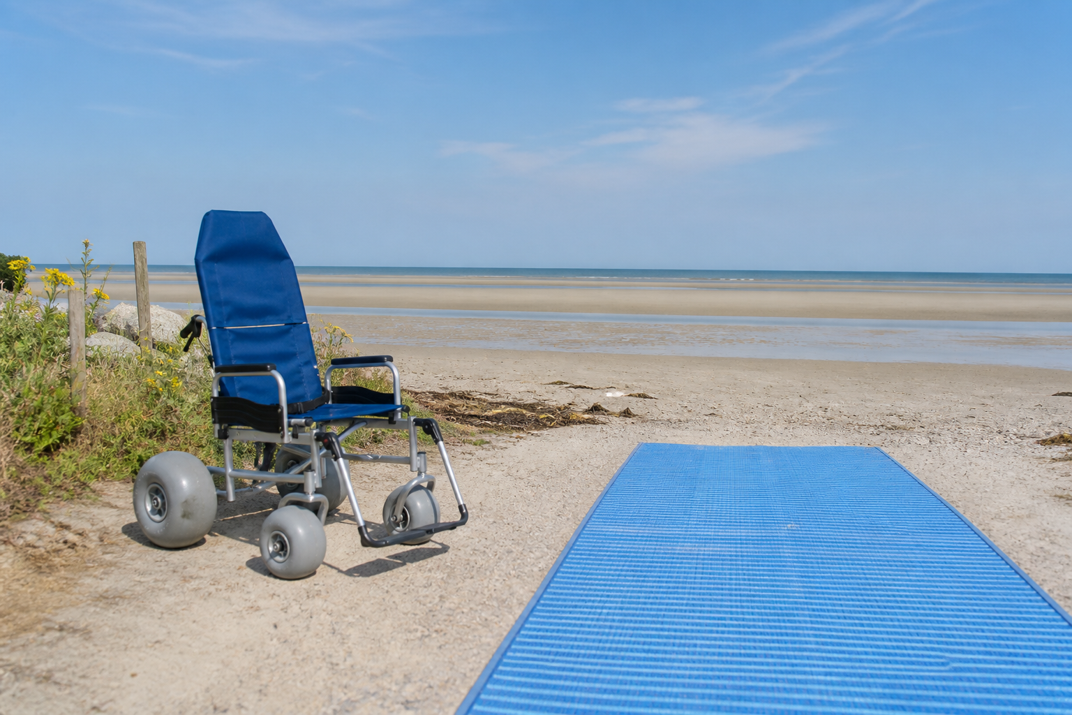
A modular system relies on its specified connections and adequate support beneath the installed route. A roll has different edge and joining details. Use the instructions for the offered construction. Obtain professional review where bank stability, erosion or an anchoring method is uncertain. Changing the fixings cannot by itself restore missing ground. Beach access mat configuration information
| Observation at this entry | What the duty team decides |
|---|---|
| Water is rising toward the lower sections or the agreed removal trigger is reached | Stop new trips to the affected destination, arrange for anyone already there to return, and use the approved plan for removal by authorised personnel. |
| Water has receded but a section bridges a void or the bank appears unstable | Keep that section out of service and have the responsible site specialist assess the bank and transition. |
| A higher stopping place is available | Check its approach, clear turnaround and return before describing the shorter land route to visitors. |
| The repaired installation appears complete | Inspect the whole affected line from both directions and obtain the operator’s release before restoring the former endpoint. |
Put a changed endpoint into the visitor’s directions
As a hypothetical example, a site normally offers a viewing spot on a lower terrace. After a water-level change, the operator has checked the route only as far as the upper landing. Tell arriving visitors the name of the upper landing and that the lower terrace is closed. Remove directions from the lower bank that imply people can still return by the old route. Give the desk a time or trigger for the next update, with a named person able to provide it.
A beach wheelchair may support a separate assisted land visit where its own route has been assessed. Do not offer it as a workaround for an unstable bank. If the same reach loses support repeatedly, compare a different alignment, a seasonal removal plan or a permanent landward destination before replacing sections in the same place. Seasonal and longer-term mat deployment · Mat storm response