
Choose a coastal park beach mat route from two maps. One shows the journey visitors want to make from the parking area or trailhead to a beach destination. The other shows where staff can lay, inspect and remove the mat without disturbing protected ground. Walk the overlap with the park’s access and resource staff. A line that reaches the water on a summer brochure may end on mobile sand, cross a restoration plot or leave the removal crew without an authorized way back.
Start with a destination on the existing visitor corridor
Where would someone spend time at the end of the mat? A view of the shoreline, a picnic area and the beach wheelchair collection point are different destinations. Visit the starting point and walk all the way back. Mark the last firm surface, changes in level, resting or turning space, and the point where sand begins to cover the approach. Ask visitors which connection they lose today and record the location in their own words when they agree.
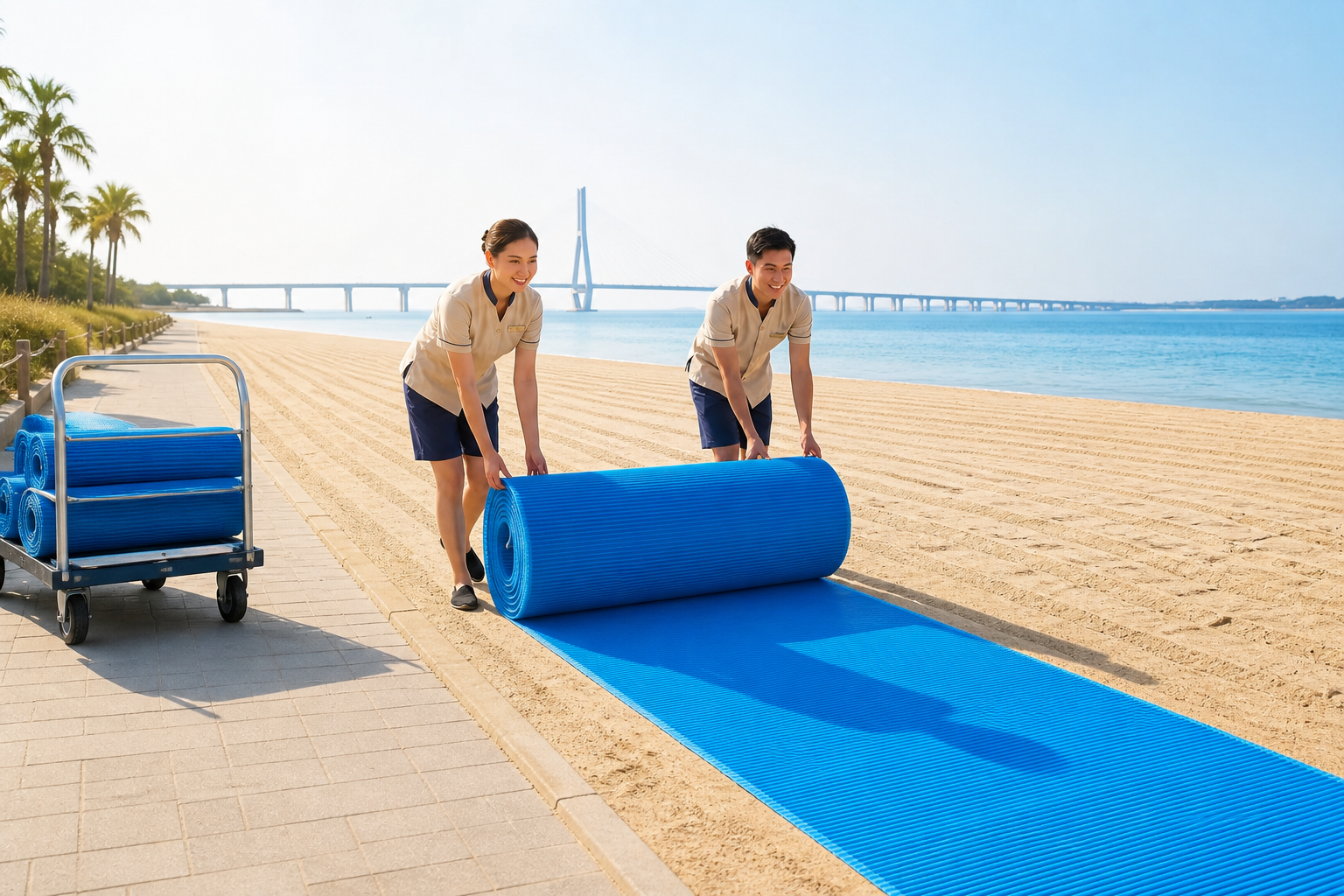
Give the park manager a sketch with the intended endpoint, installation season and the route authority. Add a second line for equipment delivery and removal. A service vehicle may be able to reach the sand by one gate while the public uses another. Check on foot whether the cart, rolls and crew can get from that gate to each work location using the permitted corridor.
Before opening, have the duty lead compare the local tide forecast with the water level the crew can see. Mark where rising water could first cut off the visitor’s return or the crew’s removal path. If either path may flood during the planned visit, the lead should shorten or close the route while both are still usable and tell the entrance team. Recheck the paths on site before reopening.
Mark areas the mat and the crew must avoid
On the site map, mark dunes, habitat zones, restoration work, water edges and local restrictions. Ask the park’s resource lead to identify the current limits and the date for another check. A sand fence or a temporary wildlife closure can move during the season. A blank patch on last year’s drawing gives no permission to lay sections or place fixings there.
| Field finding | Decision for this route |
|---|---|
| The proposed line crosses a fenced restoration area | Compare a shorter destination on the existing corridor with another authorized approach. Have resource staff review the revised footprint. |
| The planned endpoint needs crew access through a closed gate | Agree how crews will gain access during service and removal, or choose an endpoint they can maintain. |
| The last section is exposed after the beach profile changes | Hold that reach. Check whether a shorter maintained endpoint has space for visitors to stop and return. |
| A seasonal wildlife restriction moves closer to the route | Consult the responsible park staff about the current boundary before moving sections or directing visitors around it. |
Park teams comparing different alignments can use the Interagency Visitor Use Management Framework to organize questions about visitor use and resource conditions. The park’s own manager determines which line, timing and work methods are authorized at that site.
Decide how much route the park can keep open
Mark the section nearest each sand crossing or exposed endpoint. Give the opening crew a map and the name of the person who can shorten or close the route. Ask them to record what changed and where. Wind-blown sand at the boardwalk join needs a different response from water cutting beneath the far end. Consult the supplied instructions before changing the installed connection or anchoring method.
Agree what happens when a ranger closes the far reach. One person updates the trailhead sign and visitor desk. Another checks whether the new endpoint can serve the advertised trip. If a wheelchair user cannot turn or get back to the trailhead there, remove that destination from the open-route information. Keep the original route and any authorized shortened version on separate map layers so the next crew can see exactly which is open.
Order against the approved alignment and the season’s removal plan. Include the carrying equipment, crew access and place where wet or sandy sections can be handled under the supplier’s instructions. The seasonal closeout guide covers the removal record once the park decides to take the route out.